
A total of 141 flood mitigation projects have been approved nationwide under the 13th Malaysia Plan’s first rolling plan, the Senate was told.
KUALA LUMPUR: A total of 141 Flood Mitigation Projects have been approved under Rolling Plan 1 of the 13th Malaysia Plan nationwide.
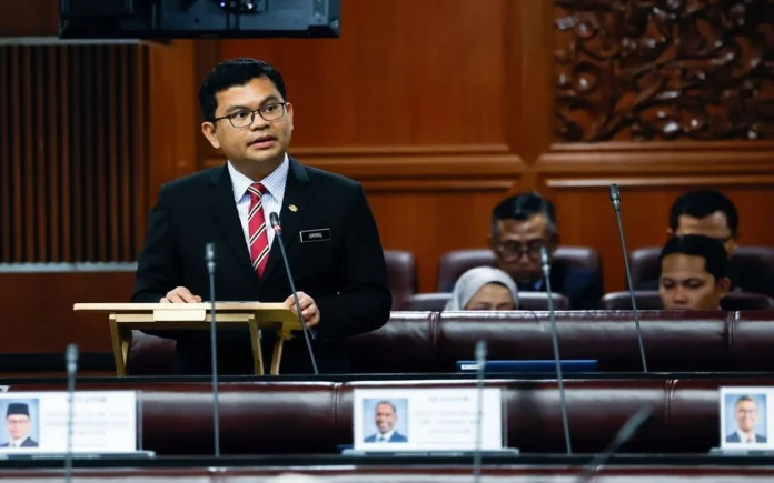
Deputy Minister of Energy Transition and Water Transformation Akmal Nasrullah Mohd Nasir said this forms the government’s structural approach to reducing flood risks.
He acknowledged implementation challenges at ground level during a debate winding-up session in the Dewan Negara.
These include detailed technical studies, designs based on targeted protection levels, land acquisition, and the relocation of existing utilities.
“These factors affect the project completion timeline and may cause delays,” he said.
He also said six water supply projects worth RM1.27 billion were approved under the same rolling plan.
Meanwhile, Deputy Minister of Natural Resources and Environmental Sustainability Datuk Seri Huang Tiong Sii outlined other initiatives.
He said the Malaysian Meteorological Department is upgrading its radar observation network at three locations.
The sites are Kuching in Sarawak, Kota Kinabalu in Sabah, and Subang in Selangor.
This upgrade supports enhanced monitoring and the issuance of weather warnings.
Various dissemination platforms have been implemented to ensure wider information sharing.
“Additionally, MetMalaysia has upgraded 23 tsunami sirens and will upgrade 30 tsunami sirens under the 13MP,” Huang said.
On groundwater resources, he detailed the National Groundwater Resource Mapping and Development Project.
The RM16 million pilot project began in Kedah for the 2021-2025 period.
The Minerals and Geoscience Department is conducting systematic aquifer mapping across the state.
This involves geophysical surveys, groundwater exploration, and 3D/4D groundwater modelling.
Findings have identified several high-potential aquifer zones in Kedah’s lowland districts and alluvial basins.
These zones could be developed as alternative water sources.
Huang said the project’s approach is practical and cost-effective for Malaysia’s geological conditions.
It can still produce robust 3D/4D aquifer models for planning and development.
This is compared to Japan’s more advanced 4D aquifer mapping technology.
“The government remains open to selectively leveraging Japanese expertise and technology,” he stated.
The current focus is completing baseline mapping and developing a groundwater database through the Kedah pilot.
This will precede expansion to other states. – Bernama