PASIR PUTEH: The Fishing Site Identification (FSI) system has significantly improved fishermen’s catches by 30 to 50 per cent compared to traditional methods.
Developed by the Malaysian Space Agency (MYSA), the satellite-based technology identifies high fish population areas for registered fishermen.
Ruziah Shafei, deputy secretary-general of MOSTI, stated that the system reduces fuel consumption and saves time while increasing productivity.
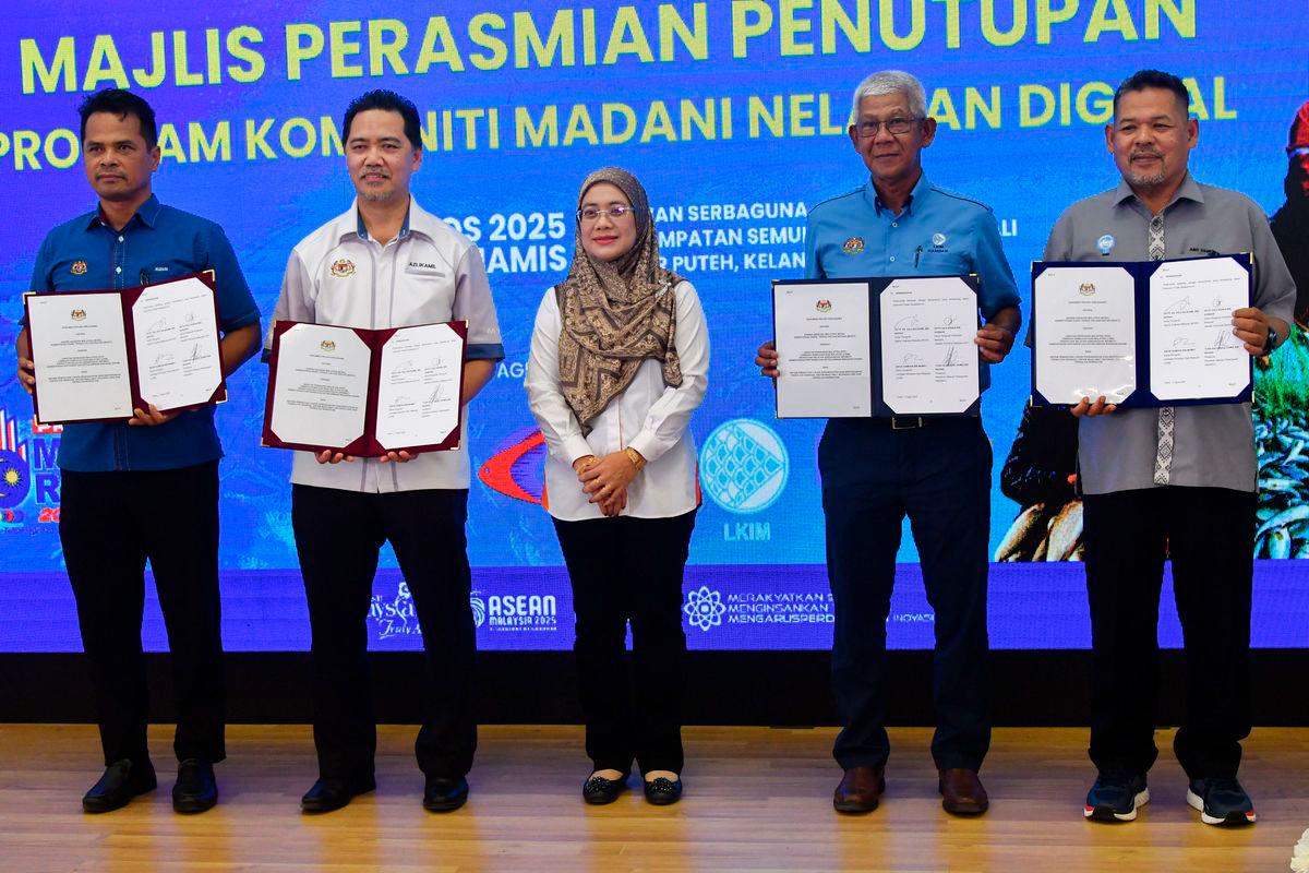
She shared these insights during the closing ceremony of the Komuniti MADANI Nelayan Digital programme at Dewan Serbaguna Penempatan Semula Nelayan Tok Bali.
MYSA director-general Datuk Azlikamil Napiah highlighted the collaboration with agencies like LKIM, DoF, and NEKMAT in implementing the FSI system.
He noted that younger fishermen have adapted well to the technology, which now covers coastal (Zone A) areas alongside deep-sea (Zone C) zones.
Fishermen using FSI have reported catch increases of up to 50 per cent, according to data from partner agencies.
Azlikamil added that MYSA plans to enhance the system with new innovations, including boat movement monitoring for safety.
The technology also supports sustainable marine resource management, proving its value beyond aerospace and defence sectors.
MYSA aims to expand FSI training to more fishing communities to secure strategic data and improve livelihoods.
Fisherman Mohd Amir Hashim, 45, shared that his income rose by 50 per cent after using FSI for the past two to three years.
The system sends fish location data directly to fishermen’s emails, simplifying their search efforts.
Zone A fisherman Zahari Samad, 64, believes the FSI system will greatly benefit coastal fishermen after the monsoon season.
He praised the technology for its potential to enhance catch yields and improve trip planning.
The FSI system continues to transform Malaysia’s fishing industry by leveraging space technology for economic growth. - Bernama


