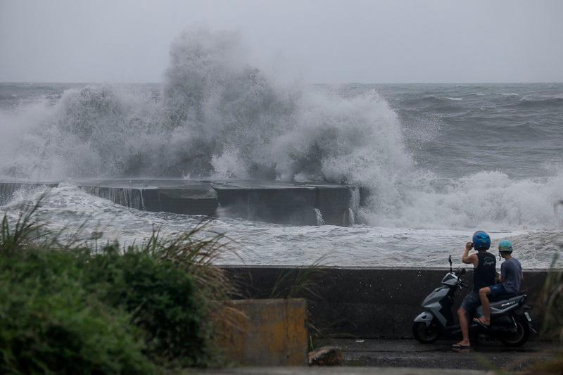
TOKYO: A strong typhoon was headed for southern Japan on Monday, with forecasters warning of heavy rains, powerful winds and possible transport problems later this week.
Typhoon Shanshan was expected to cross the Amami island area on Wednesday, packing gusts of up to 216 kilometres (135 miles) per hour before veering towards the main southern island of Kyushu.
An official from Japan Meteorological Agency (JMA) told a press conference that there could be “violent storms” and “high waves” from Tuesday until Friday.
In Miyazaki prefecture in Kyushu, some 400 millimetres (16 inches) of rain was expected in the 24 hours from noon on Wednesday, JMA forecaster Shuichi Tachihara said.
“It is necessary to be on high alert about heavy rain-linked disasters such as landslides, flooding of low-lying lands and river floods,“ he said.
Railways, flights and highway traffic could be disrupted, Satoshi Omatsu, a land and transport ministry official, added.
Typhoon Ampil disrupted hundreds of flights and trains this month, dumping heavy rain but causing only minor injuries and damage as it churned up the Pacific coast past the Tokyo region.
That system came days after Tropical Storm Maria dumped record rains in northern areas of Japan.
Typhoons in the region have been forming closer to coastlines, intensifying more rapidly and lasting longer over land due to climate change, according to a study released last month.


