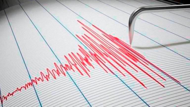
PUTRAJAYA: Malaysia has the possibility of getting an earthquake based on empirical evidence, according to the Ministry of Natural Resources, Environment and Climate Change (NRECC).
As a long-term mitigation measure, NRECC said the Department of Minerals and Geosciences Malaysia (JMG) is conducting engagement sessions with local authorities and stakeholders in the application of seismic hazard maps.
“A public awareness programme is also implemented for state authorities, local residents and schools that are exposed to the risk of an earthquake,” said the ministry in a statement today.
The ministry also recommended that the seismic hazard map input be referred to in designing building structures in Malaysia.
For the record, strong earthquakes have occurred in Malaysia, namely with a magnitude of 6.0 to 6.3 on the Richter scale in Sabah in 1923, 1958, 1976 and 2015, while the strongest earthquake in Sarawak occurred in 1996 with a magnitude of 5.3 on the Richter scale.
In Peninsular Malaysia, there have also been several earthquakes with a strength range of between 1.6 to 4.6 on the Richter scale that occurred in 1984, 1985, 1987, 2007, 2009, 2010 and 2013 with the local epicentre in Bukit Tinggi, Pahang; Kenyir Dam, Terengganu; Kuala Pilah, Negeri Sembilan, Manjung and Temenggor in Perak.
According to the ministry, JMG has installed six active Earthquake Benchmark (PAG) stations in Sabah and 54 passive PAG stations in six states, including 29 passive PAG stations in Sabah, Pahang (13), six in Selangor and two stations each in Perak, Negeri Sembilan and Sarawak to monitor active movements with the potential to cause earthquakes.
JMG has also published the Seismic Hazard Map of Peninsular Malaysia, Sabah and Sarawak in 2019 which characterizes the seismic hazard zone based on ‘Peak Ground Acceleration’ (PGA) which is used as a reference to design earthquake-resistant buildings.
The ministry also said the strong earthquake that occurred in Sumatra, Indonesia, had the potential to activate ancient faults in Peninsular Malaysia and the effects of tremors could be felt in several locations on the west coast of the peninsula.
“For Sabah and Sarawak, the occurrence of earthquakes is caused by the activation of ancient fault lines due to the collision of the tectonic movements of the Philippines Plate and Eurasian Plate and also by the active movement of local faults,” it said. - Bernama


