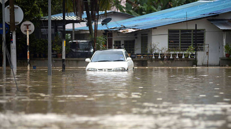
GEORGE TOWN: More intense precipitation, brought on by climate change, has been blamed for the higher frequency of floods in Penang.
For instance, in the wet weather, the average hourly rainfall has risen from 31mm in the 1990s to 180mm during the period from 2010 to 2018 - a six-fold increase over three decades.
State executive councillor Zairil Khir Johari said the higher hourly rainfall had resulted in the higher frequency of flash floods in Penang.
For Zairil, whose portfolio encompasses utilities, flood mitigation and public works, this has become a problem that is increasingly difficult to deal with.
He said in a statement yesterday that the existing drainage infrastructure in the state was no longer adequate to deal with the frequent deluges.
Penang saw one of its worst floods over the past two weeks. The worst hit was Bukit Mertajam where the high tide made it impossible for the excess water to drain into the Penang Channel.
About 150 people have been staying at various flood relief centres, some for up to eight days already.
The various flood mitigation projects that have been launched over the years have done little to alleviate the problem.
For instance, from 2013, a total of 369 projects worth RM155 million had been implemented across the state, Zairil said.
Over and above that, the government invested another RM150 million in eight high-impact projects across the entire state following the November 2017 floods.
Of these eight projects, construction on six of them is already under way and the tender process for the remaining two is expected to be completed by the end of this year.
Most of these projects are only scheduled to be completed next year, so the people would have to brace themselves for another year of floods.
In the interim, Zairil said, the government was conducting a detailed study on a drainage master plan for all five districts in the state.
The master plan will be based on the sustainability guidelines of the Drainage and Irrigation Department’s management manual.
These guidelines, he said, would be used as a reference for the planning and development of all flood mitigation efforts.


