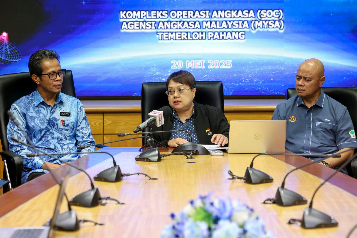
TEMERLOH: The Enforcement Agency Integrity Commission (EAIC), the Forestry Department of Peninsular Malaysia (JPSM), and the Malaysian Space Agency (MYSA) are committed to expanding the use of satellite and remote sensing technology for forest monitoring.
EAIC secretary and chief executive officer Asliza Ali said the body held engagement sessions with MYSA to discuss the use of satellite and remote sensing and coordinated with JPSM for a more effective monitoring effort.
“This initiative aims for a technology-based monitoring of 100 per cent of forest areas identified as high risk,” she told reporters today.
MYSA deputy director-general (Research and Development), Samsuddin Omar, was also present.
Asliza said that the Forest Monitoring Remote Sensing Systems (FMRS Plus), which MYSA developed and has been utilising since 2012, can provide satellite images to identify activities occurring in forests across the country.
“Through the systems, we can get data on forestry activities and identify hotspots likely to be encroached on. An archive of satellite images is available from 2015 to the present,” he said.
Meanwhile, the director of the Forest Enforcement Division at the Forestry Department, Abd Ramlizauyahhudin Mahli, stated that through the systems, they detected approximately 250 cases of encroachment last year and arrested the offenders.
“...many encroachment cases have been successfully detected, with satellite imagery proving highly valuable in state-level enforcement efforts. These images enable real-time remote monitoring with precise coordinates, allowing information to be relayed directly to field operations,” he added.


