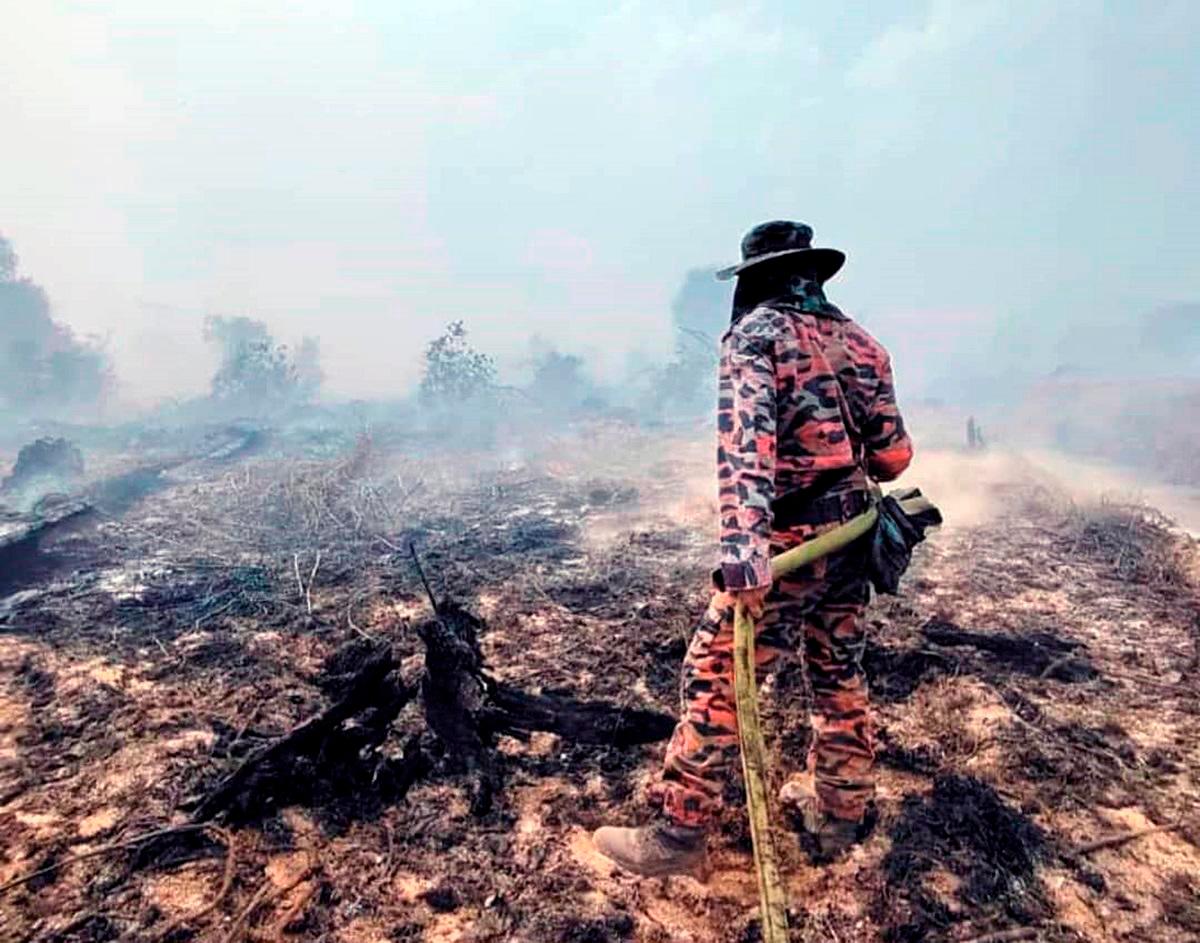
KUCHING: Sarawak is set to implement cutting-edge wildfire detection and management strategies by incorporating proven technologies and methods from Singapore and Pahang to address its escalating haze and wildfire challenges.
The East Malaysian state plans to integrate the sophisticated satellite-based early warning system currently operated by the ASEAN Specialised Meteorological Centre (ASMC) in Singapore, which enables rapid identification of fire outbreaks before they develop into major blazes.
A high-level fact-finding mission comprising senior officials from the Sarawak State Secretariat and the Natural Resources and Environment Board (NREB) recently conducted study visits to Singapore and Pahang to examine best practices in wildfire management and haze prevention.
The delegation, headed by Deputy State Secretary Datuk Buckland Bangik and including NREB state controller Datuk Jack Liam along with departmental heads from forestry and mining sectors, focused on understanding advanced monitoring technologies and ground-level intervention strategies.
According to NREB officials, the ASMC’s sophisticated monitoring infrastructure represents a significant advancement in fire detection capabilities. The Singapore-based center utilizes state-of-the-art satellite systems capable of identifying both active fires and haze formations across vast geographical areas.
“Strengthening our monitoring and prevention systems is crucial for addressing the growing wildfire and haze threats facing Sarawak,“ NREB stated. “The advanced satellite monitoring capabilities available through ASMC offer detection methods that we need to adapt for our local conditions to enable swift response to wildfires, particularly in challenging terrain.”
The delegation’s visit to Pahang concentrated on examining successful peatland fire management techniques. Officials toured the Pahang Forestry Department headquarters and conducted field visits to the Pekan Permanent Forest Reserve and other key sites to observe operational fire management strategies.
Pahang’s experience with fire-prone peatland regions has resulted in highly effective firefighting protocols and enforcement mechanisms that prevent small fires from escalating into major incidents. NREB officials identified these proven methods as particularly relevant for Sarawak’s similar geographical challenges.
The mission also included discussions with Malaysian Meteorological Department headquarters in Kuala Lumpur to establish improved collaboration frameworks. NREB seeks to strengthen data-sharing arrangements for weather information, haze movement tracking, and meteorological pattern forecasting.
Sarawak faced significant wildfire challenges throughout the previous month, with numerous blazes affecting interior regions, plantation areas, and peat swamp ecosystems. Satellite monitoring detected up to 220 active hotspots within state boundaries at the crisis peak.
Environmental monitoring systems classify hotspots as fires covering at least one acre of land surface, equivalent to a football field in size, that appear as thermal signatures detectable by satellite imagery.
During mid-August, several districts including Mukah, Marudi, and Miri experienced severe haze conditions, with Air Pollutant Index readings frequently exceeding the 150 threshold on multiple occasions.
The comprehensive approach being developed by Sarawak authorities combines advanced early warning technology with proven ground-level intervention methods. This integrated strategy aims to create a robust defense system against the state’s recurring wildfire and haze problems.
By leveraging Singapore’s technological capabilities and Pahang’s practical experience, Sarawak seeks to establish a more effective response mechanism that can quickly identify and contain fire outbreaks before they pose significant environmental and public health risks.
The initiative represents a collaborative approach to environmental challenges, utilizing inter-state and international cooperation to address issues that transcend administrative boundaries.


